Today we use lasers in a variety of devices and for a multitude of tasks. However, it was not always like this. Before laser levels and even modern levels, a
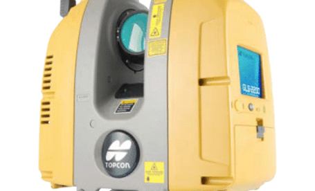
Terrestrial laser scanners are used for a variety of industries and reasons. They are used for surveying, prototyping, quality assurance and more. This is because they ensure that processes and
As technology develops and timelines for construction projects become increasingly shorter, it has become imperative to make use of technology to increase efficiency and productivity on construction sites. Machine control
Before the dumpy level, there was the Y level. With slow, and complex assembly, the Y level could not keep up with the demands of the surveying industry in the
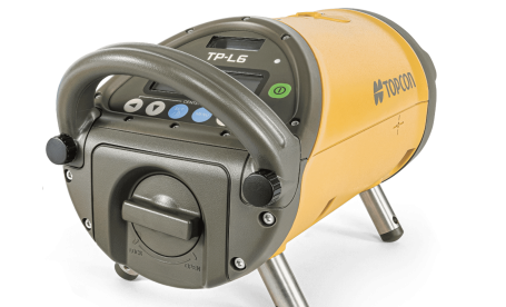
Some of the most important systems in society aren’t seen. These are the pipe systems that are laid underground. These systems are what allow us to have access to modern-day
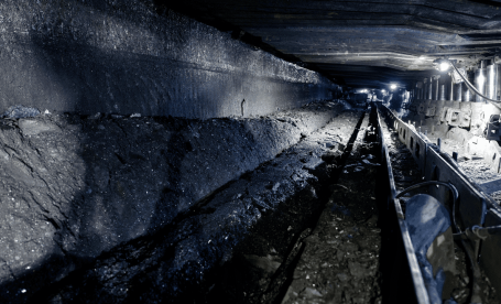
Mining is a tough industry no matter how you look at it. The environment and conditions under which miners need to operate are strenuous and dangerous, requiring a truly resilient
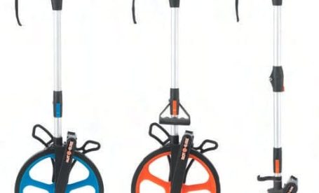
There are many measuring tools and instruments available; each with its own pros and cons, making them perfect for different applications. There is, however, one measuring instrument that has been
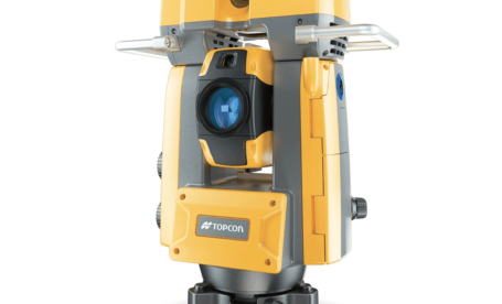
Within industries such as survey and construction, productivity, accuracy, and efficiency are vital. It is important to be armed with the correct tools in order to achieve optimal productivity and
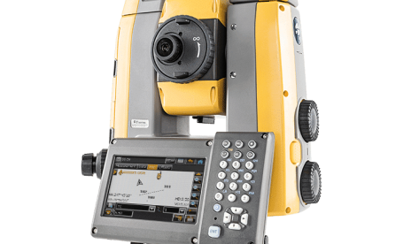
Surveyors have always relied heavily on precision measurements, and they wouldn’t have gotten very far without the use of specialised equipment. The theodolite has a long history of reliability for
Digital levels use electronic image processing for advanced levelling work, automatic height calculations, and basic construction work. They produce accurate elevation and distance values. A digital level laser boasts a