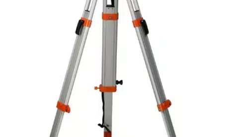
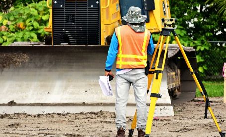
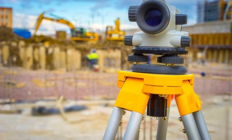
Survey tripods are survey accessories designed to support surveying instruments such as total stations, laser scanners, theodolites and auto-levels. Their role in helping surveyors achieve high-precision measurements cannot be overstated.
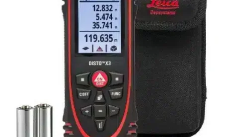
Leica Geosystems is a leading manufacturer of high-precision measurement tools, including the innovative Leica DISTO laser distance measures. These handheld devices use cutting-edge technology to provide accurate and reliable measurements
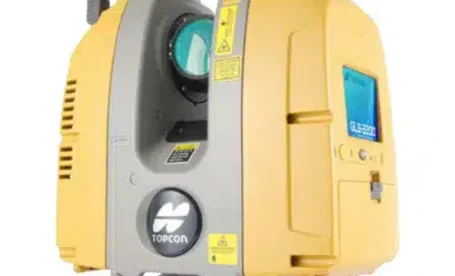
A 3D laser scanner is a tool commonly used in ICT construction that captures precise 3D measurements of physical objects or environments. It is a highly advanced technology that has
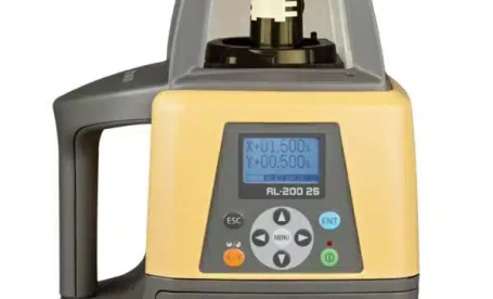
Since their introduction, Topcon Laser Levels, or Construction Lasers, have significantly impacted the surveying industry. They have revolutionised land measurement and mapping, making the surveying process more efficient, accurate and
In modern surveying and construction projects, a total station is one of the most essential tools. This optical instrument combines the functions of a theodolite and an electronic distance meter,
A dumpy level is a surveying instrument used to measure, transfer, or set horizontal lines. They’re typically used to establish height, distance, and bearings from different parts of a building/construction
Aerial Mapping training. Satisfied Customer, Successful UAV & software training in Mozambique with DJI Phantom 4 Pro, Agisoft Photoscan Pro & Global Mapper https://www.linkedin.com/feed/update/urn:li:activity:6434987044526649344
Product Description This field-ready workhorse was built for power, functionality and ruggedness. Featuring a large 3.5 inch display with a pressure sensitive touch-screen, advanced GPS, an alpha-numeric keyboard, plenty of