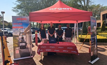
Some of the best conversations in surveying happen when current technology meets the people who will use, teach, and develop it next. That’s exactly what unfolded when Afgen joined Tshwane
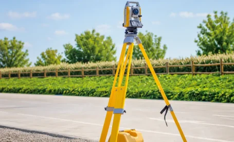
Quick answer: The Topcon GM-60 Series is a reflectorless total station built for surveyors and construction professionals who need reliable field performance. It offers non-prism measurements up to 500m, an
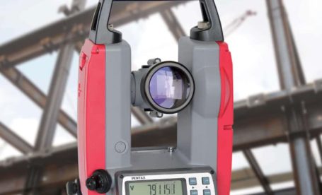
TL;DR: Electronic theodolites are precision instruments used in South African construction to measure horizontal and vertical angles with high accuracy. Their top five applications include construction site layout, building alignment,