
Positioning & Surveying Equipment Since 1946
Precision positioning has never been more critical than it is today. From construction sites to land surveying projects, accurate location data determines the success of operations worth millions.
At the heart of modern positioning technology lies GNSS systems, but achieving the highest accuracy requires more than just satellite signals. This is where radio modems become essential.
A radio modem for GNSS serves as the vital communication link that transforms standard satellite positioning into high-precision surveying equipment. Understanding how these devices work and why they’re necessary can make the difference between centimetre-level accuracy and metre-level approximations.
This guide will explore everything you need to know about radio modems for GNSS.
A radio modem is a wireless communication device that transmits and receives digital data using radio frequency signals. Unlike traditional modems that rely on telephone lines or cable connections, radio modems use electromagnetic waves to transfer information across distances without physical connections.
Radio modems operate by converting digital data into radio signals that can travel through the air. These signals are then received by another radio modem, which converts them back into usable digital information.
Key characteristics of radio modems include:
GNSS stands for Global Navigation Satellite System, a broad term encompassing all satellite-based navigation systems that provide positioning, navigation, and timing services globally. While many people are familiar with GPS (Global Positioning System), GNSS encompasses multiple satellite constellations that work together to provide enhanced coverage and accuracy.
The primary GNSS systems include:
GNSS works by measuring the time it takes for signals to travel from satellites to receivers on Earth. By calculating distances to multiple satellites simultaneously, receivers can determine their precise position through a process called trilateration.
Standard GNSS accuracy typically ranges from 3 to 10 metres under normal conditions.
However, various factors can affect this accuracy:
For surveying, construction, and other precision applications, this standard accuracy is insufficient. Professional applications often require centimetre or even millimetre-level precision, which is where GNSS techniques become necessary.
A radio modem for GNSS is a specialised communication device that enables Real-Time Kinematic (RTK) positioning by transmitting correction data between GNSS receivers.
This technology transforms standard GNSS accuracy from metres to centimetres, making it suitable for professional surveying and construction applications.
RTK positioning works by establishing a reference station with a precisely known location. This base station continuously receives GNSS signals and calculates correction data by comparing observed satellite positions with their actual locations.
The radio modem then transmits these corrections to mobile receivers (rovers) in real-time.
The process involves several key steps:
The Kolida S1 stands out as an exceptional radio modem for GNSS applications, offering professional-grade performance at an accessible price point.
This IP67-rated device combines robust construction with advanced features specifically designed for demanding field conditions.
The Kolida S1 delivers impressive technical capabilities:
The Kolida S1 offers several advantages:
Ready to upgrade your GNSS capabilities with centimetre-level precision?
The Kolida S1 radio modem represents an excellent investment in professional-grade positioning technology that will transform your surveying and construction operations.
Afgen, South Africa’s trusted supplier of Kolida equipment, offers comprehensive support for your GNSS needs.
Don’t let positioning accuracy limit your project’s success.
Contact us directly for more information.
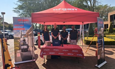
Some of the best conversations in surveying happen when current technology meets the people who will use, teach, and develop it next. That’s exactly what unfolded when Afgen joined Tshwane
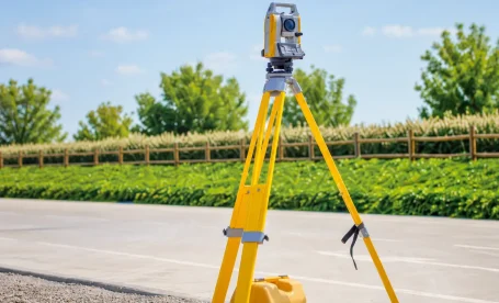
Quick answer: The Topcon GM-60 Series is a reflectorless total station built for surveyors and construction professionals who need reliable field performance. It offers non-prism measurements up to 500m, an
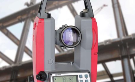
TL;DR: Electronic theodolites are precision instruments used in South African construction to measure horizontal and vertical angles with high accuracy. Their top five applications include construction site layout, building alignment,