
Positioning & Surveying Equipment Since 1946
How crucial is precision when it comes to mapping and surveying? Accuracy is everything for professionals in these fields, and that’s where the KOLIDA GNSS & GPS Systems truly stand out.
These advanced systems, built on cutting-edge technology, provide unparalleled accuracy and efficiency.
GNSS (Global Navigation Satellite System) and GPS (Global Positioning System) revolutionise how we measure and map the world around us. It accesses precise satellite signals and delivers accurate positioning and navigation data. The KOLIDA GNSS and GPS Systems take these capabilities to the next level, addressing challenges like obstructed targets, poor signal conditions, and complex environments.
This blog post will explore the top advancements of the KOLIDA GNSS & GPS Systems, focusing on the innovative features of the KOLIDA K50 and KOLIDA K60 Pro.
The KOLIDA K50 is a cutting-edge GNSS and GPS system designed to excel in the most challenging environments.
One of the standout features of the KOLIDA K50 is its advanced visual positioning capabilities.
Powered by cutting-edge photogrammetry, this system integrates technologies like 3D modelling, cloud computing, inertial measurement, 4G, WiFi, and augmented reality through an Android operating system.
These advancements enable seamless data capture, processing, and visualisation, ensuring accurate results every time.
What sets the KOLIDA K50 apart is its ability to handle complex and challenging scenarios with ease.
Consider the following applications:
The KOLIDA K60 Pro has revolutionised the field of RTK surveying as the first receiver to combine visual and laser positioning. This groundbreaking integration sets a new benchmark for accuracy, adaptability, and efficiency in GNSS and GPS systems.
Photogrammetry:
The KOLIDA K60 Pro leverages cutting-edge photogrammetry technology to deliver unparalleled precision. Its features include:
Laser Technology:
Equipped with a 3R laser, the KOLIDA K60 Pro excels in remote measurements, reducing the need for processing and making data collection faster and more efficient.
This laser technology is particularly advantageous in:
Unique Features:
What truly sets the KOLIDA K60 Pro apart in the realm of GNSS and GPS systems is its unique, problem-solving innovations:
| Feature | KOLIDA K50 | KOLIDA K60 Pro |
| Video Shooting | Yes | Yes |
| 3D Modeling | Yes | Yes |
| Laser Shooting | No | Yes |
| Live Stakeout View | Yes | Yes |
| Channels | 1698 | 1698 |
| Screen | Yes | Yes |
| Battery | 6800mAh | 6800mAh |
| Storage | 16GB | 16GB |
The advancements of the KOLIDA GNSS & GPS Systems, particularly the KOLIDA K50 and KOLIDA K60 Pro, showcase a blend of precision and innovation unmatched in modern surveying tools.
The K50 excels with robust visual positioning capabilities, while the K60 Pro sets a new standard with its combination of laser and visual technologies.
To experience these cutting-edge systems firsthand, contact Afgen, the official reseller of KOLIDA GNSS & GPS systems.
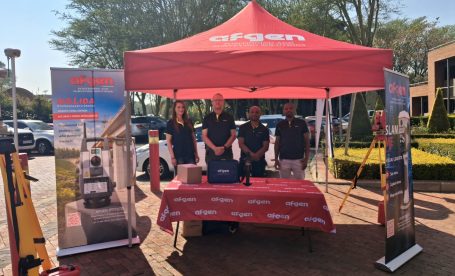
Some of the best conversations in surveying happen when current technology meets the people who will use, teach, and develop it next. That’s exactly what unfolded when Afgen joined Tshwane
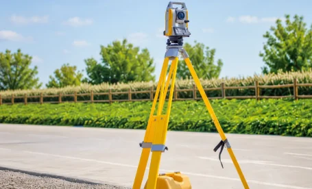
Quick answer: The Topcon GM-60 Series is a reflectorless total station built for surveyors and construction professionals who need reliable field performance. It offers non-prism measurements up to 500m, an
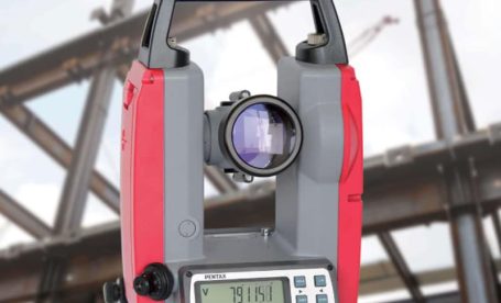
TL;DR: Electronic theodolites are precision instruments used in South African construction to measure horizontal and vertical angles with high accuracy. Their top five applications include construction site layout, building alignment,